Grate by Grate: Following the Brook That Trelispen Buried
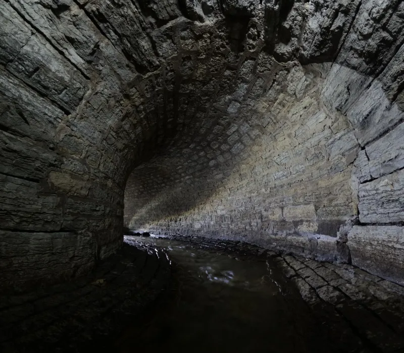
Every town has a piece of infrastructure it has quietly agreed not to think about. In Trelispen, ours runs beneath the high street, under a car park, and out the other side, and it has been doing so for the better part of a century. It has a name on the old maps, but most people I stopped and asked called it "the drain".
That's the thing about buried water. Once you cover it, it stops being a stream and starts being a problem with a lid on it. So I spent a wet Saturday and a drier Sunday trying to follow it, and this is what I found — plus a route, so you can have a go.
First, the paper trail
The brook shows up clearly on the 1880s Ordnance Survey, threading down from the fields above Coombe Lane, slipping behind the terraces, crossing what was then an orchard, and running along the back of Fore Street before heading out towards the marsh. On the 1904 edition it's still open for most of that length. By the 1938 sheet, whole stretches have gone — drawn instead as a dotted line, the cartographer's way of saying: don't blame us, it's under there now.
The covering-over wasn't a single dramatic decision. It happened in fits, the way most town changes do. A section gets piped to stop a yard flooding. A few years later a builder pipes the next bit because it's cheaper than rebuilding a wall. Then the high street gets widened, the car park arrives, and by the time anyone thinks to ask whether the whole thing should stay open, there's nowhere left to ask it. Trelispen didn't bury its brook. It lost it, one practical decision at a time.
The clues that are still visible
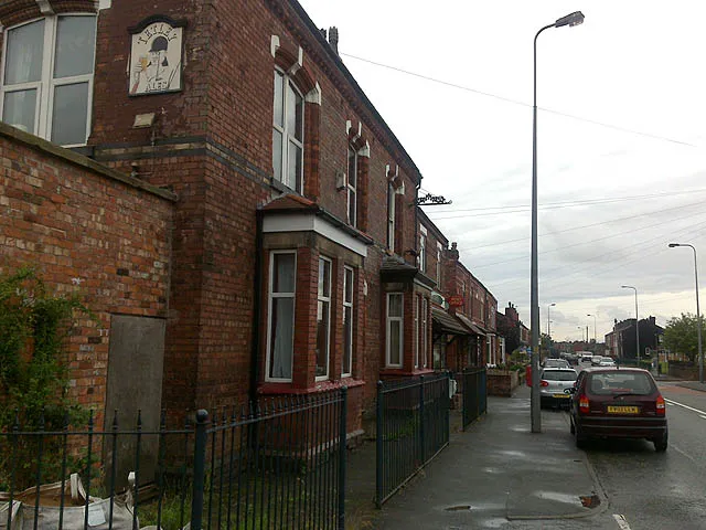
What surprised me is how much is left if you know where to look. There are three cast-iron grates set into the kerb along the upper end of Fore Street, and one of them still carries a foundry mark so worn it's basically a rumour. There's a low brick arch at the back of the Memorial Gardens car park that looks like a bit of decorative garden wall until you notice the dark stain beneath it and the way the tarmac dips towards it in wet weather.
Then there are the flood marks. Two of them, in fact: a pencilled line on a painted wall behind one of the Fore Street shops, and a much older carved notch on the stone by the steps at the top of Quay Lane. The notch is the more interesting of the two, because nobody I spoke to could say who cut it or when. "Before my time, and I'm not young," said Ronnie Kellow, who has lived three streets away since 1961 and was, by his own admission, more interested in whether I'd brought a flask.
The wall pencil mark, though, has a date beside it. It's from a storm in the 1970s, and the water that made it came up through the system rather than down the street — a reminder that a buried brook doesn't stop behaving like a brook just because we've stopped looking at it.
The walk: roughly two miles, ninety minutes
This is a gentle one, mostly flat, with two short slopes and a lot of standing about looking at the ground. Do it after rain if you want the water to be obvious; do it in a dry spell if you want to feel clever.
Start: the top of Coombe Lane, by the fingerpost where the footpath leaves the road.
1. Head downhill for about 200 metres. On your left, roughly where the hedge dips, you'll see a damp gully and a line of rushes. That's the brook's last proper appearance above ground — barely a stream, more of an opinion, but it's the real thing.
2. Continue to the junction with Penhaven Road. Look at the kerb on the far side: that's grate number one. You can usually hear it before you see it.
3. Turn right, then left into the top of Fore Street. Walk downhill on the left-hand pavement and keep an eye on the gutter. Grates two and three are within fifty paces of each other, and between them the road cambers in a way that only makes sense when you know a stream is running parallel underneath.
4. At the war memorial, cut through the Memorial Gardens and out into the car park behind. Find the low brick arch in the far corner. This is the best surviving piece of the old channel, and the water below it is the loudest you'll hear all walk.
5. Back out to Quay Lane. Look for the carved notch on the stone by the steps — the mysterious high-water mark. Then follow Quay Lane south until the houses give out.
6. The finish is the outfall: a headwall and a guardrail at the back of the supermarket car park, where the brook reappears, briefly and unglamorously, in a concrete channel before sliding off towards the marsh.
Finish: the bench at the far end of the car park, which is either a lovely spot or a wind tunnel, depending on the day. Bring a flask, in honour of Ronnie.
Who actually remembers it open?
Nessa Prior, who grew up in one of the Coombe Lane cottages, remembers the brook as a childhood boundary and a childhood hazard in roughly equal measure. "We weren't allowed past it," she told me. "So obviously we went past it constantly." Her recollection of sticklebacks may be generous, but she's firm about the watercress, and firm about the smell in August.
What comes through in every conversation is that the brook wasn't scenery. It was a working edge of town — a place for draining fields, damming with stones, losing a shoe. Culverting didn't just hide a stream. It converted a piece of shared outdoor space into a piece of private engineering, and the town's memory of it faded accordingly.
Could it ever come back up?
Daylighting — the polite term for taking the lid off — is having a moment nationally. Rochdale put a stretch of the Roch back under open sky in 2017; Sheffield has been unpicking culverts for years. The benefits are well rehearsed: floodwater with somewhere to go, cooler streets, kingfishers if you're lucky, and a general lift in how a place feels.
The honest answer for Trelispen is: not the whole thing, and not soon. Too much of the route sits under buildings and a car park that isn't going anywhere. But a partial scheme is not fantasy. The stretch through the Memorial Gardens and the car park behind is the obvious candidate — it's public land, it's already flood-prone, and it's short enough to be affordable.
Whether anyone wants to spend money on it is, of course, a different question, and one that will probably be answered in a meeting nobody attends. For now, the brook stays where it is: under the trolleys, under the tarmac, doing what it always did.
Practical bits
- Distance: about two miles, with optional extension along the marsh path.
- Terrain: pavements, one grassy slope, one car park. Not pushchair-friendly at the Coombe Lane end.
- Best time: after heavy rain, when the grates are audible; or a dry week, when the flood marks make more sense.
- Watch out for: cars in the supermarket car park, and the temptation to peer into grates in front of people trying to park.
- Afterwards: the café on Fore Street does a decent pot of tea, and nobody minds wet boots.